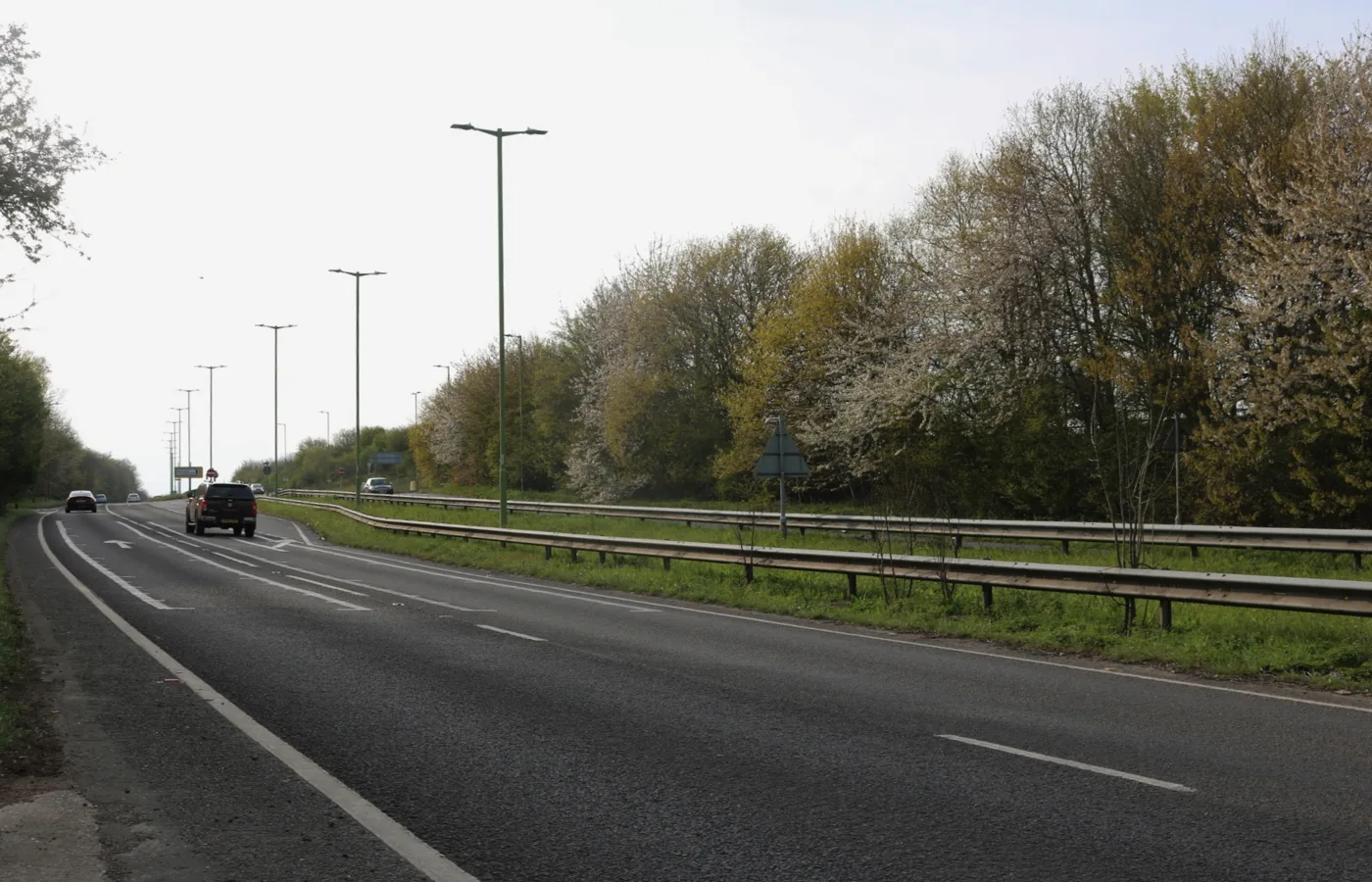

Harlow Council wants 3.9m gateway signs at 11 entrances to the town. Four residents objected, on sightlines and design. Officers recommend approval on all three.
Harlow Council is asking its own planning committee to approve 11 “Welcome to Harlow” gateway signs on grass verges at the entrances to the town. All three applications are recommended for approval, and all three are before the Development Management Committee on Wednesday 9 September at 7pm in the Council Chamber at the Civic Centre.
They are at committee for one reason: the council is the applicant, and residents objected. Under paragraph 3.3(d) of the committee’s terms of reference, an application made by or on behalf of the council that attracts an objection has to be decided by councillors rather than by officers.
Four objections were received across the three applications. They raise:
- interference with sightlines and visibility splays at a junction on London Road
- drivers being distracted, and less able to spot the junction in time
- sightlines impaired approaching the roundabout at Parsloe Road, creating “a blank spot”
- the design: “unsightly”, with “unattractive imagery and colours”
- whether alternative positions further along the road would work just as well
- one objector asking why the signage is being moved, how residents of Moor Hall Lane North can belong to Epping Forest District Council and be in Harlow at the same time, and how a sign reading “Est 1947” can be part of “Harlow New Town”
What is actually being applied for
Each sign is in two parts, and only one of them is at committee.
The board carries the council’s crest, the words “Welcome to Harlow New Town” and artwork of the town’s landmarks. That is an advertisement, dealt with under separate applications that do not go to committee at all because they fall outside the council’s scheme of delegation.
The structure the board is fixed to needs planning permission, and that is what councillors are being asked to decide. The reports give its dimensions precisely: 1.22 metres wide and 3.925 metres tall including the posts, measured from ground level.
The signs form part of the council’s “Building Harlow’s Future” project. The officer reports describe the intention as creating “a statement entrance that celebrates Harlow’s heritage in a modern way”.
The 11 locations
Two of the entrances have their own application because each drew an objection. The rest are bundled into one.
| Application | Locations |
|---|---|
| HW/FUL/26/00306 | South of Eastwick Road; Gilston Park Estate, Burnt Mill Lane; west side of Cambridge Road; south-east side of Gilden Way; north and south sides of Matching Road; north-west and south-east sides of Hobbs Cross Road; M11 Harlow Common; opposite Newhouse, Latton Common, A414; east of Brookside Cottage, Water Lane |
| HW/FUL/26/00312 | Land on the west side of The Rosaries, London Road |
| HW/FUL/26/00314 | Land south of 11 Holmes Meadow, Parsloe Road |
The plan references run from W01 to W12, and the three reports before committee cover W01 to W09, W11 and W12. W10 is not among them. The papers do not say where the twelfth sign would go or why it is not being decided alongside the rest.
The objections, and what officers say back
The single most substantial objection is on the London Road application. The objector argues the sign would interfere with established sightlines and visibility splays, distract drivers approaching the junction, reduce their ability to identify the junction and respond, and increase risk to pedestrians and other vulnerable road users. They asked for the highway authority to be consulted, and suggested positions further along the road, beyond the junction, that would do the same job.
Essex County Council Highways was consulted, and raised no objections on any of the three applications. The officer’s answer on highway safety is the same in each report: Essex Highways “are satisfied that the signage would be clear of visibility splays and provides sufficient space to maintain pedestrian/cycle access”.
On design, officers write that the signage “would be well-designed, durable and thoughtfully placed, serving as a powerful, cost-effective marketing tool showcasing the town’s unique history, culture, character and identity”, and that it “would not appear stark, out of place, or create unnecessary visual clutter”. Gateway markers, the reports note, “are common features of many settlements across the England, marking political and community boundaries”.
To the objector who questioned the “Welcome to Harlow New Town” wording, the “Est 1947” date and the district boundary, the officer response is one line: “Only material considerations can be accounted for in the determination of this application.” In planning terms that means the point cannot count either way, whether or not it is right.
Trees, and the condition that would be attached
The council’s arboricultural officer assessed the sites on 10 August 2026 and found the excavation needed at every location “minor in scale”. Trees sit close to the works at some sites and not at others.
The recommendation is approval subject to three conditions, and the second is the one with teeth: the work must be carried out in full accordance with the submitted Arboricultural Method Statement, prepared by Josh Alder on behalf of HTS Ltd and dated 26 February 2026, with any change needing written approval from the planning authority. HTS is the council’s own service company.
An informative also warns that future highway improvements “may require the relocation of any implemented signage located within the highway boundary”, and that the precise position of each sign has to be agreed on site with the highway authority before work starts.
There is already a permission for this
All three reports list the same planning history: HW/FUL/26/00030, “Installation of ‘Welcome to Harlow’ Signage across the entrance points to the town”, granted planning permission on 6 March 2026, alongside advertisement consent HW/ADV/26/00031 on the same day.
The reports do not explain what has changed since, or why fresh applications for the same project were submitted on 6 August 2026. That is a question for the committee.
The consultation is over, the meeting is not
The site notices expired on 3 September and the press notices on 4 September, so the window for written comments has closed.
Speaking at the meeting is still open, and the procedure is set out in the agenda: up to three speakers against an application and three for, three minutes each, plus the applicant or agent for up to three minutes. You have to register with Democratic Services at least 24 hours in advance, on 01279 446057 or at governance@harlow.gov.uk.
The meeting is webcast live and available afterwards at harlow.public-i.tv.
What it means for you
If you drive in and out of Harlow, this decides whether 11 new structures, each just under four metres tall, go up on the verges at the town’s entrances. The first condition gives the council three years from the date of permission to start the work.
If you live near one of the eleven sites, the position is not yet fixed. The informative requires the exact spot to be agreed on site with Essex Highways, and a licence or consent under highway legislation is likely to be needed on top of the planning permission.
If you want to say something, register by 7pm on Tuesday 8 September to speak the following evening. Written objections are past their deadline.
We follow Harlow planning decisions on our planning news page, and the roads themselves on Harlow roadworks and travel.
Sources
- Harlow Council, Development Management Committee agenda, 9 September 2026 for the meeting date, venue, item list and the public speaking procedure.
- Officer report, HW/FUL/26/00306, Welcome to Harlow signage at various locations for the nine bundled locations, the sign dimensions, the arboricultural assessment of 10 August 2026, the single objection and the officer response, the conditions and the informatives.
- Officer report, HW/FUL/26/00312, The Rosaries, London Road for the highway safety objection in full, the Essex Highways response and the W08 plan reference.
- Officer report, HW/FUL/26/00314, Land south of 11 Holmes Meadow, Parsloe Road for the two objections on sightlines and design, and the W11 plan reference.
- All three reports for the site and press notice expiry dates, the reason the applications are at committee, and the March 2026 planning history.
Have your say